The Bresse, France
The Vosges by bike: from the Crêtes road to the Col de Bramont
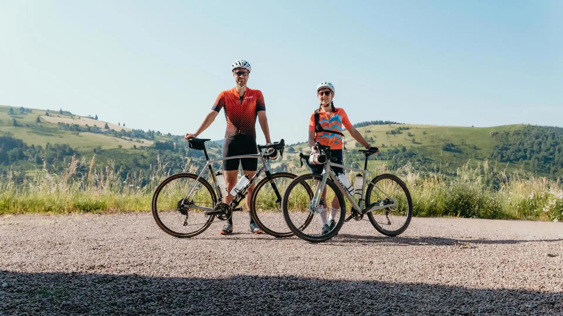
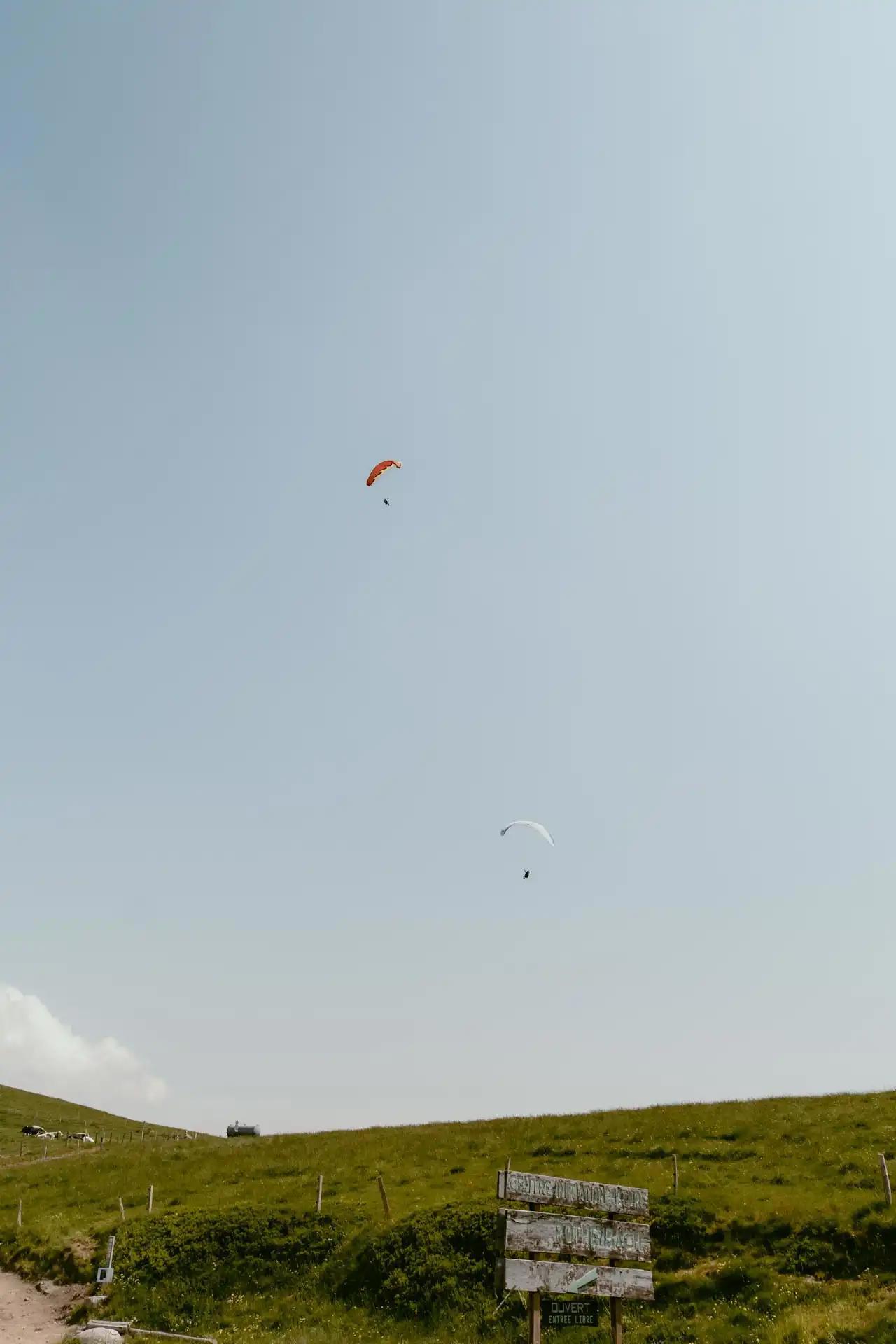
The Vosges are a French department located in the Grand Est region, primarily composed of the Vosges massif, this department is a paradise that will delight all nature and adventure lovers. We went to the Vosges for a weekend in June to discover this place.
In this article, you will discover one of the most beautiful bike rides we have ever taken, crossing mythical roads all surrounded by breathtaking scenery!
Discovering the Vosges by bike
Itinerary Preparation
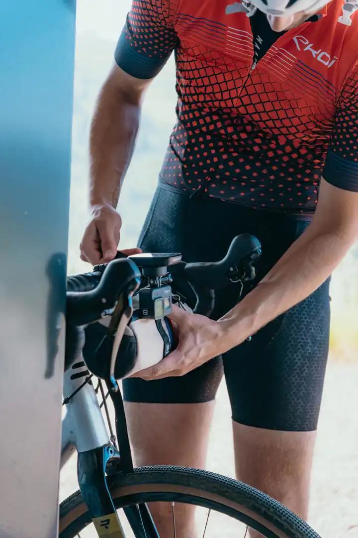
Our itinerary starts in the commune of La Bresse, it's from Le Chalet Milien (where we're staying for the weekend) that we finalize the last preparations for the walk (the GPX of the walk is available at the end of the article).
The itinerary is a loop of 53km and 1400m of positive elevation gain. On the way, a first climb that will take us to the Route des Crêtes via Lac de Blanchemer. Once on the Route des Crêtes, we follow it for a few kilometers before descending towards Lac de Kruth-Wildenstein and the foot of the Bramont pass, the 2nd difficulty of the day. Once at the top of the Bramont pass, the itinerary descends back towards La Bresse and marks the end of this loop.
Joining the Crest Trail from La Bresse by bike
Le chalet Milien is located in the highlands of La Bresse, and we begin our route by descending towards the center of the town and start following the Moselotte on its right bank towards the road to the Lake of Blanchemer.
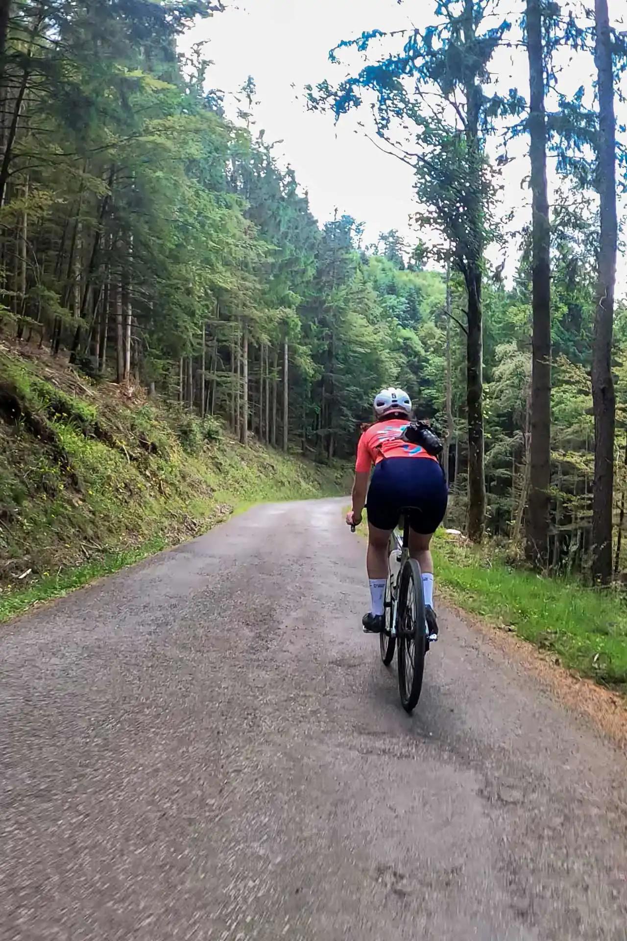
The first 10 kilometers are quite flat and provide a good warm-up before tackling the first uphill section of the route. We alternate between forest paths, small roads, and country lanes before joining the departmental road "La route de Vologne" for about 1 km and arrive at the foot of the first challenging climb of the day.
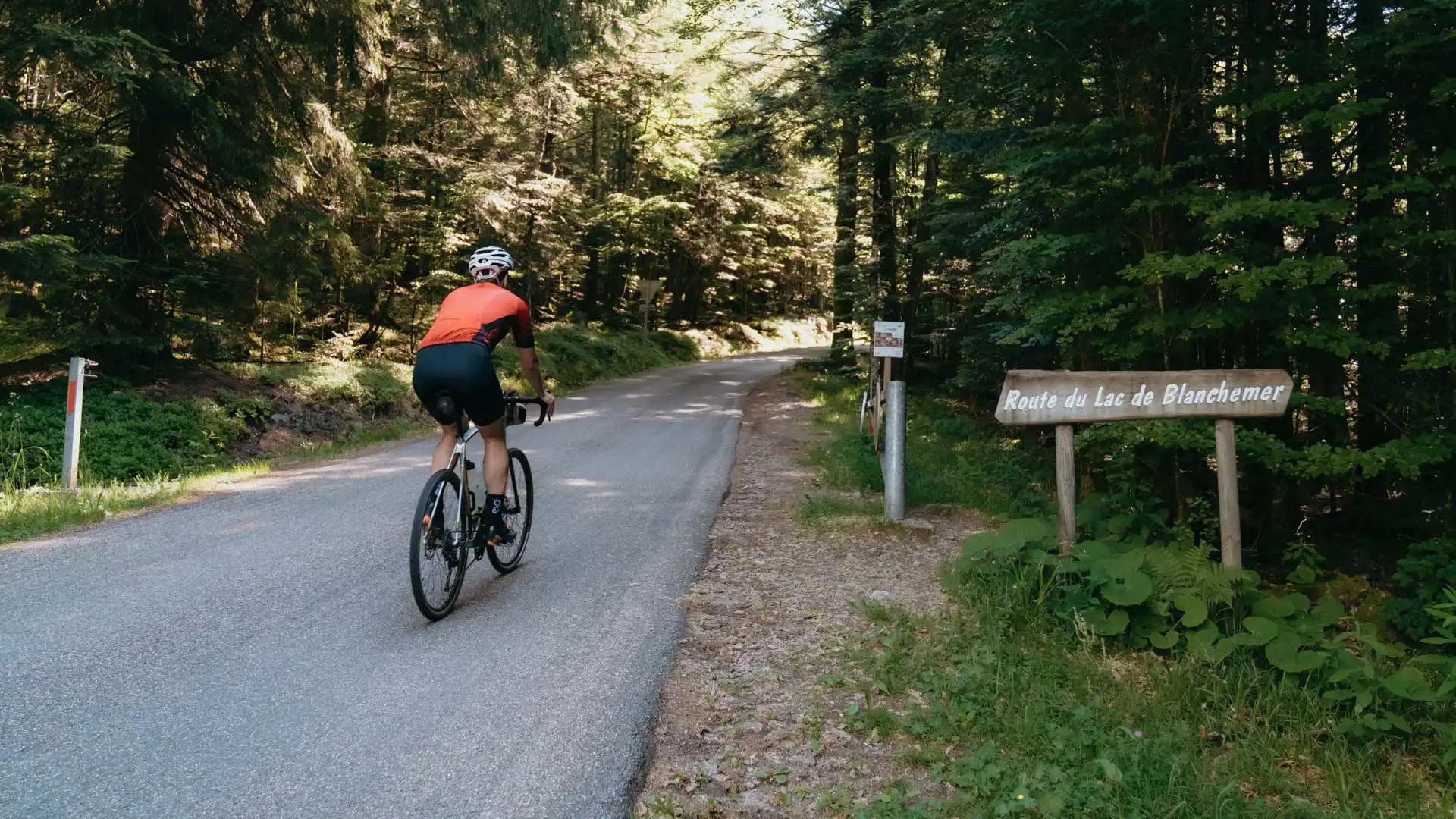
The road to Lake Blanchemer
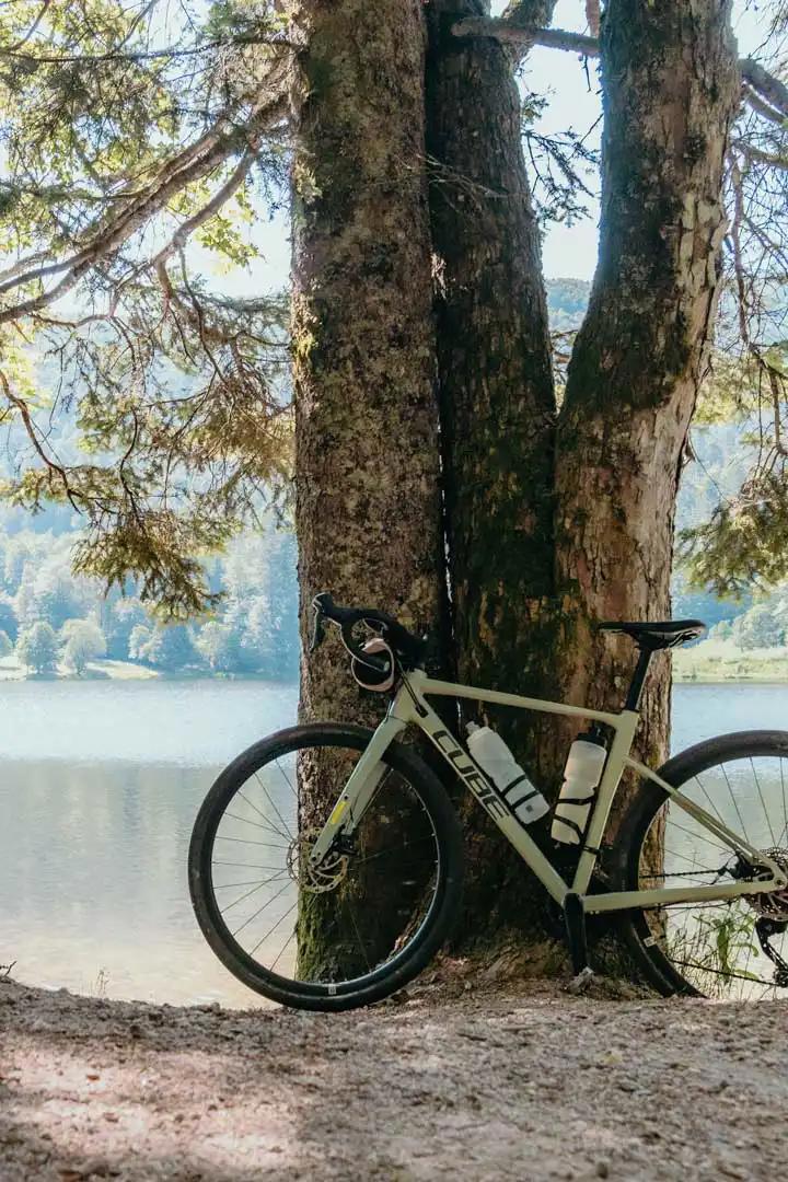
The Blanchemer Lake Route is a ~5.5km climb with an average ~7.5% gradient (slope profile on Climbfinder). The route is very pleasant and winds through the forest alongside the stream flowing down from Blanchemer Lake to the Moselotte.
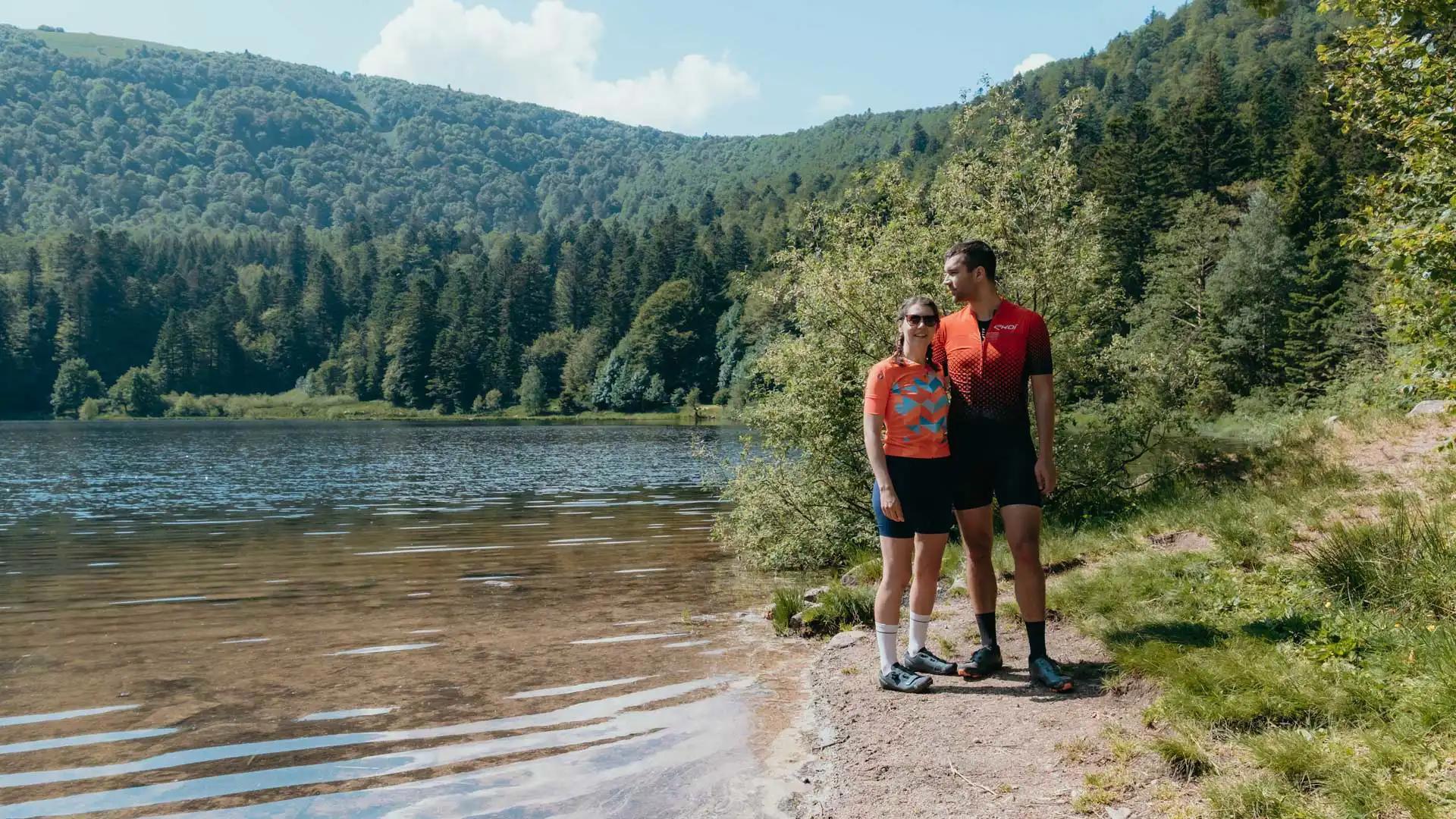
After 2km of ascent, we arrive at the Blanchemer Lake, a lake with an area of approximately 9 hectares that was dammed to install a turbine that produces electricity for the town of La Bresse. We decide to cycle around the lake on a rocky but passable path (especially with gravel bikes), and take advantage of it to make a first refueling stop while enjoying the nature.
A small cereal bar devoured and we're back on the road to Lake Blanchemer, next stop: The Crest Road.
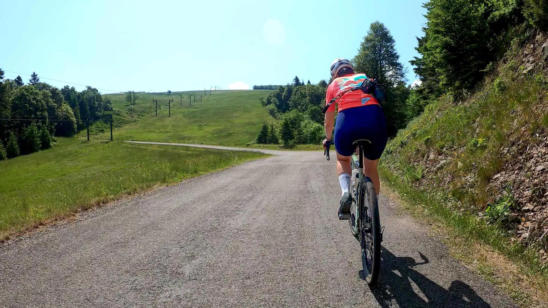
The last 3 kilometers of the coast are the easiest with an average slope of ~6%. We pass under the ski lifts, a little struggling to imagine that in winter this road must be covered by several meters of snow.
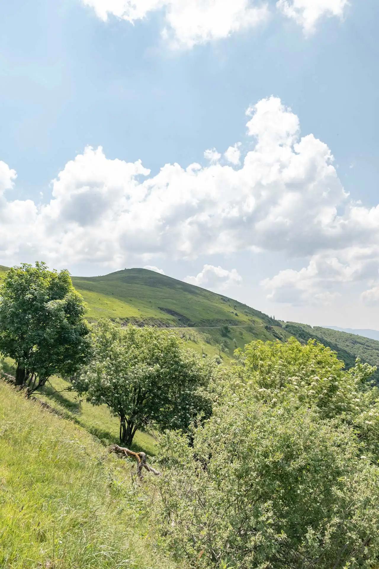
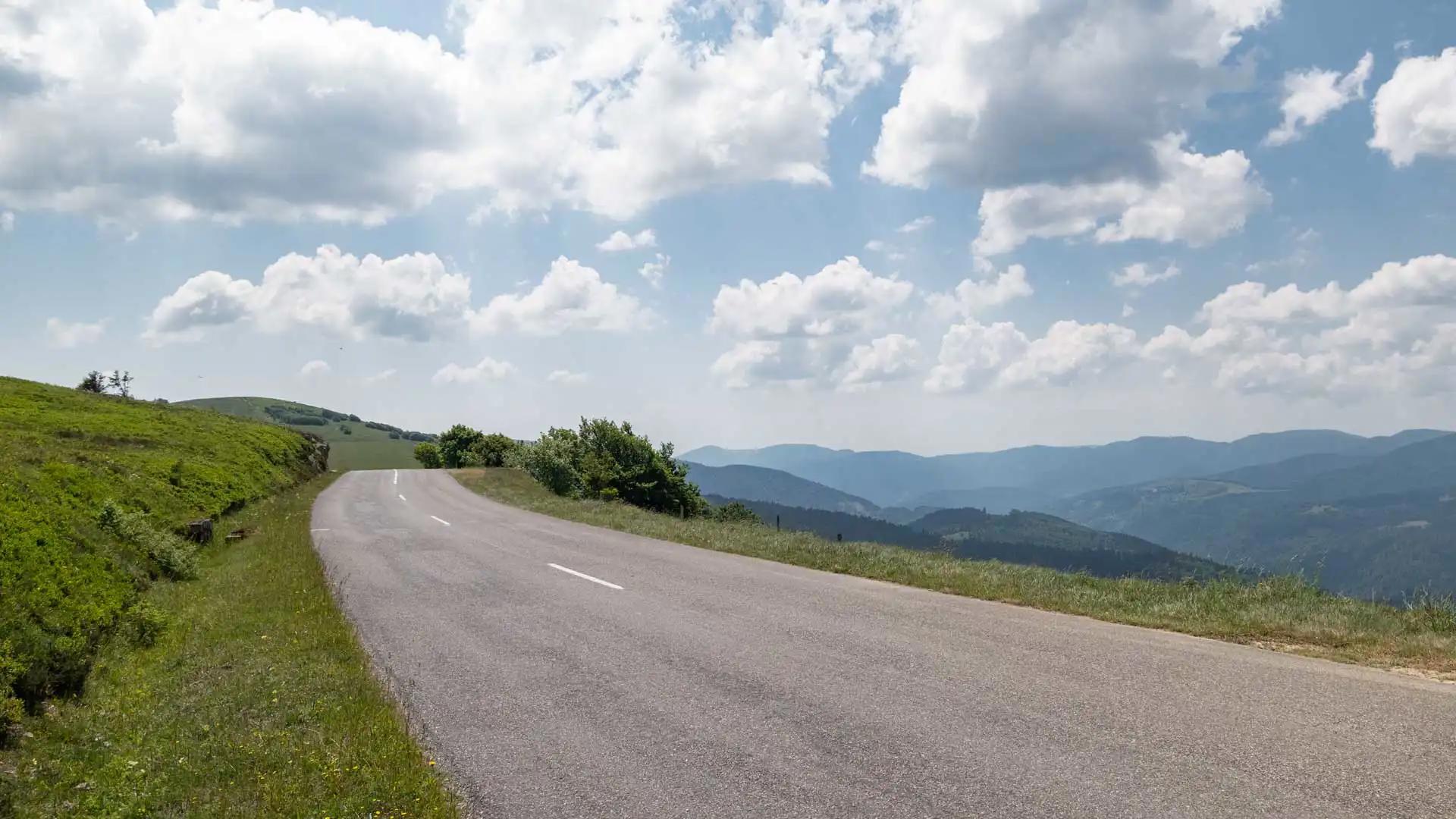
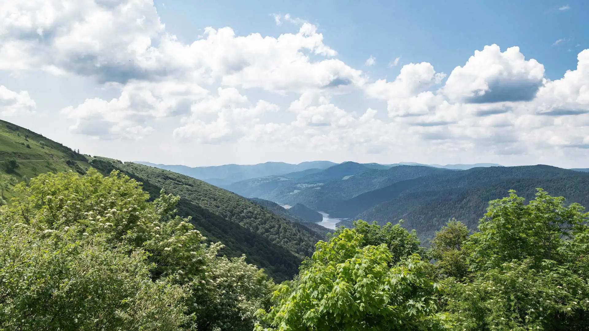
The Crest Trail
The first coast of the day is finished and we finally arrive on the mythical Crest Road. We take a few moments to enjoy the view of the valley and the Lande lake below, before getting back on our bikes to ride a part of one of the most beautiful roads in Europe.
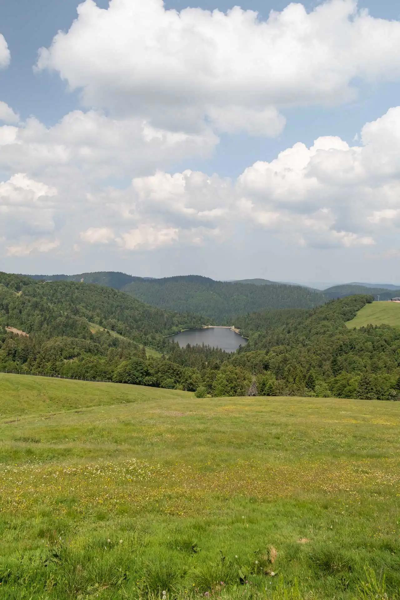
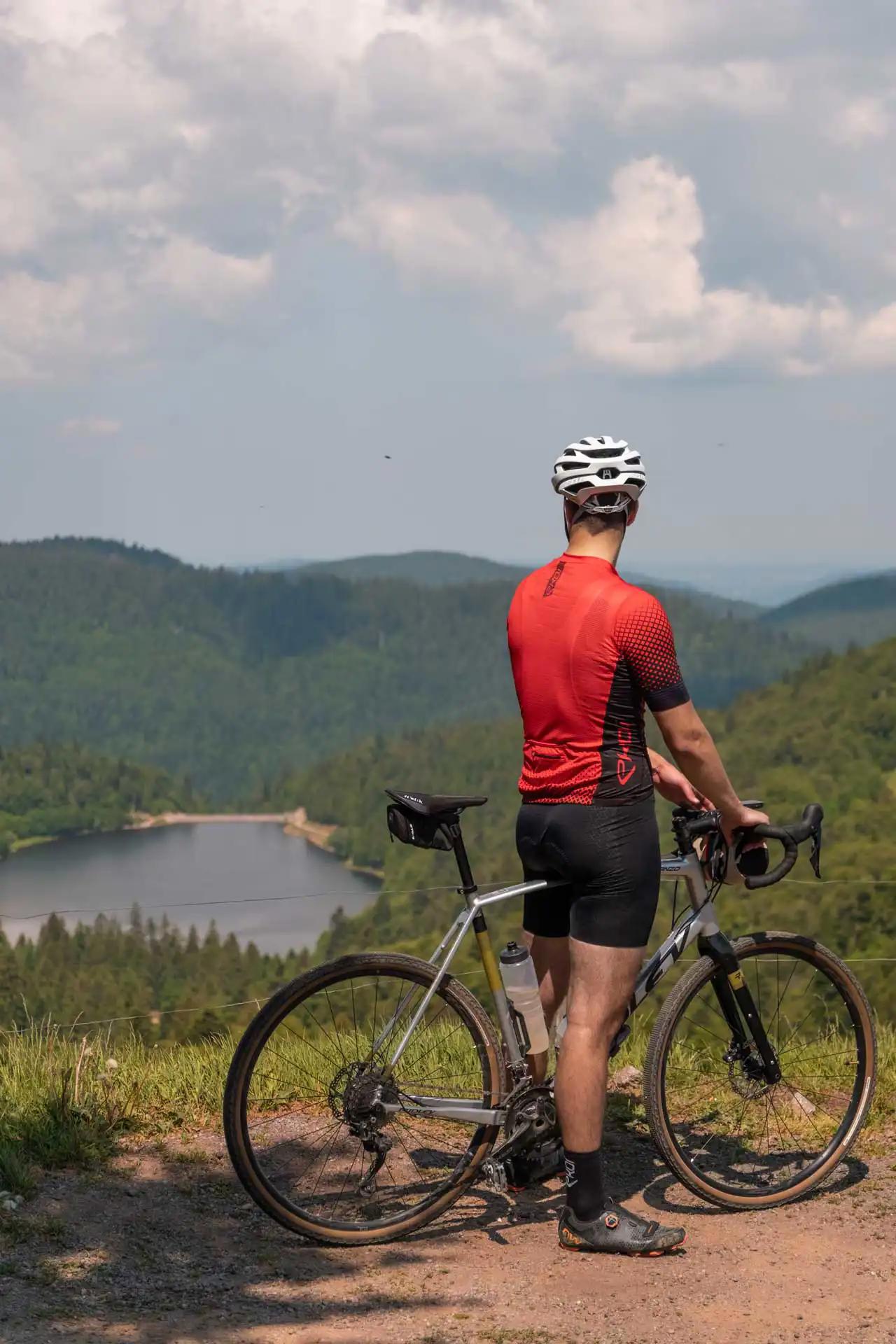
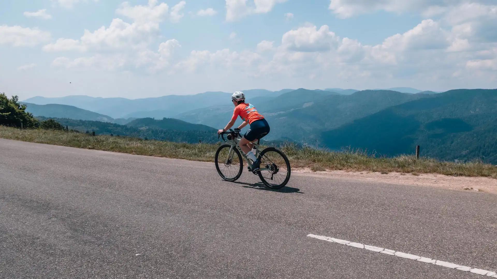
The Crest Route is 73 km that crosses the Vosges and offers breathtaking landscapes and views! During our bike ride, we took the route for 8 km stopping occasionally to enjoy the natural spectacle that surrounds us.
From the Crêtes Road to Col de Bramont by bike
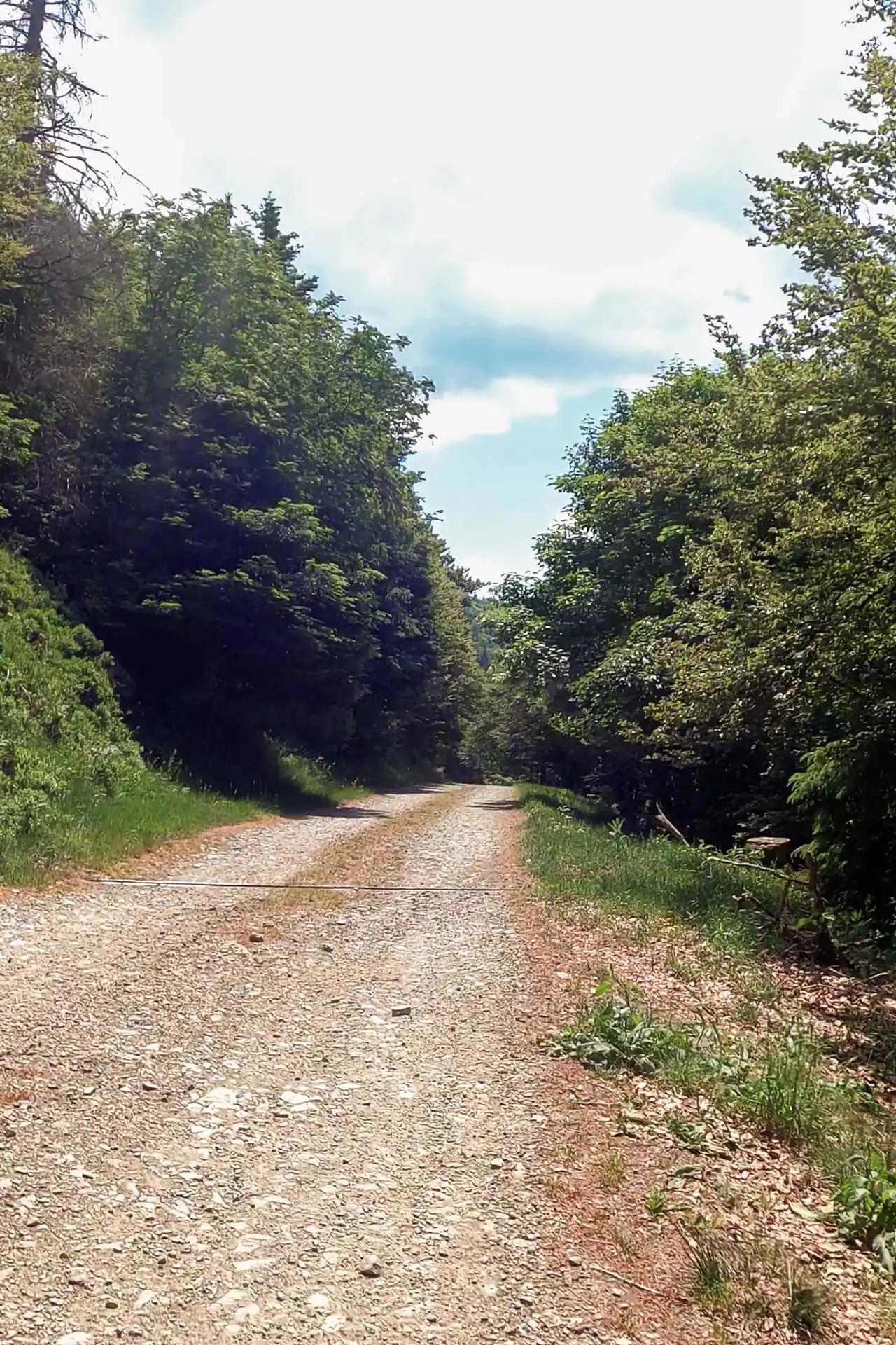
Descent to Lake Kruth-Wildenstein
To begin the descent from the Crest Road to the Kruth-Wildenstein lake, we take a rocky path that descends on the right of the road. This path is in worse condition than we thought after checking it on Google Maps, so it might not be suitable for road bikes, but it will pose no problem for gravel bikes with a little care.
After about 2 km of rocks, we finally rejoin a paved road and begin this beautiful descent to the Kruth-Wildenstein lake, a tourist-friendly area (at least during the season) where it is possible to find something to eat if needed.
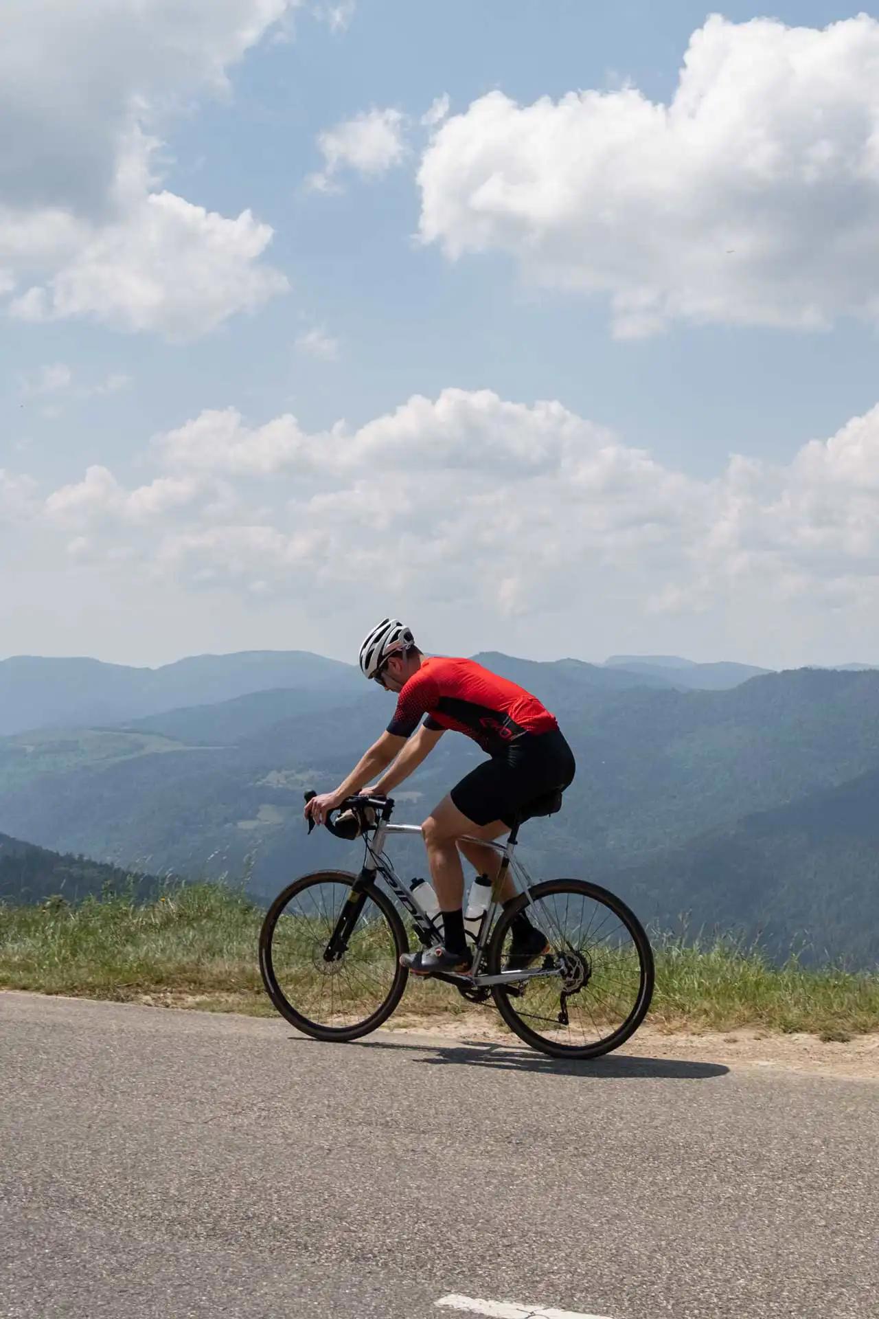
Bramont Pass
After a few kilometers in the valley, we arrive at the foot of the Bramont pass, the second and last difficulty of the day.
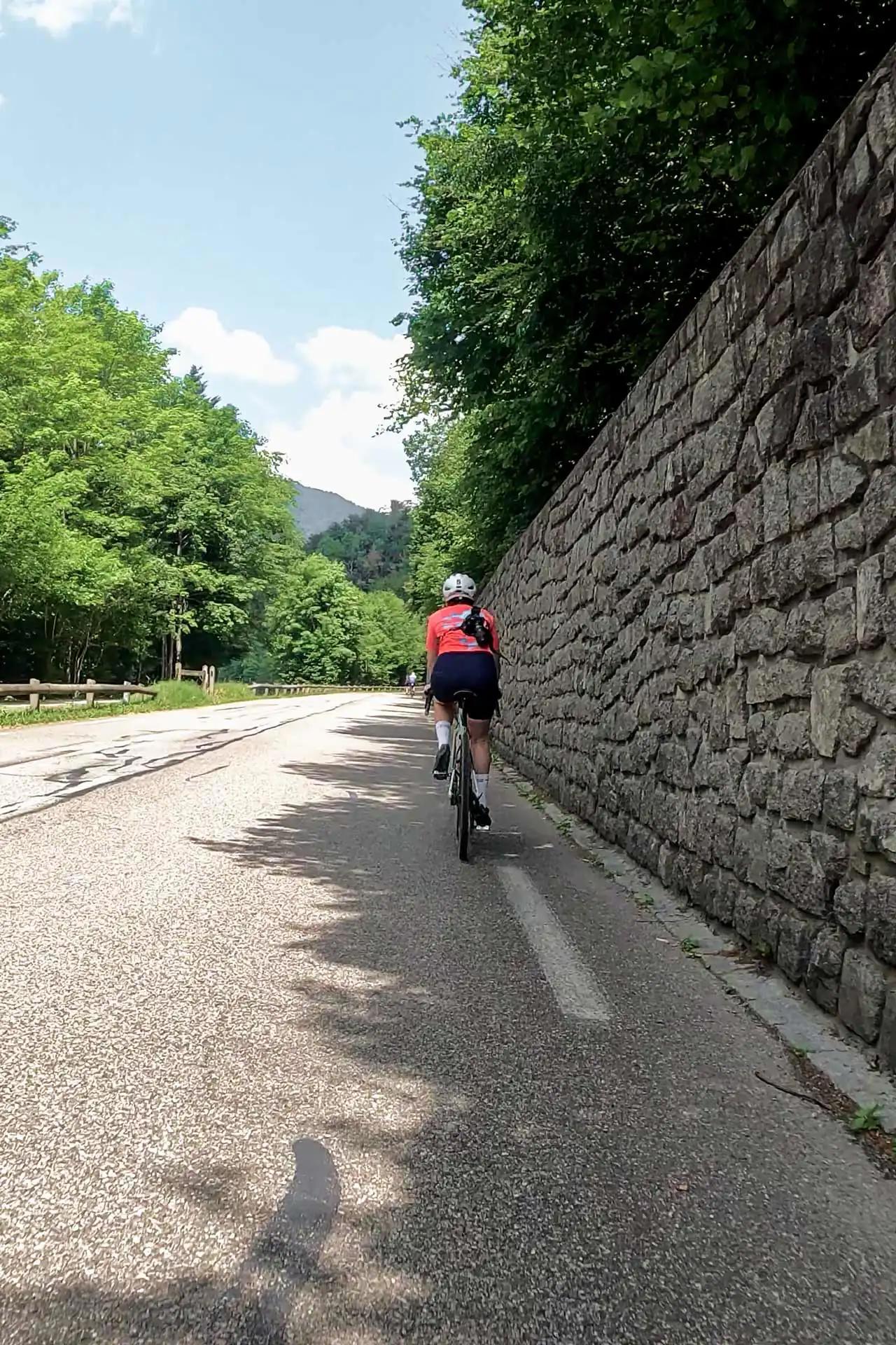
This 8 km pass with an average gradient of 5% (slope profile on Climbfinder) is climbed on a fairly wide road that winds among the fir trees. The slope is not very steep, but what will have tired us the most on this pass is the heat. The road being wide, we cannot take advantage of the shade of the trees and suffer a little from the heat of the sun in the early afternoon.
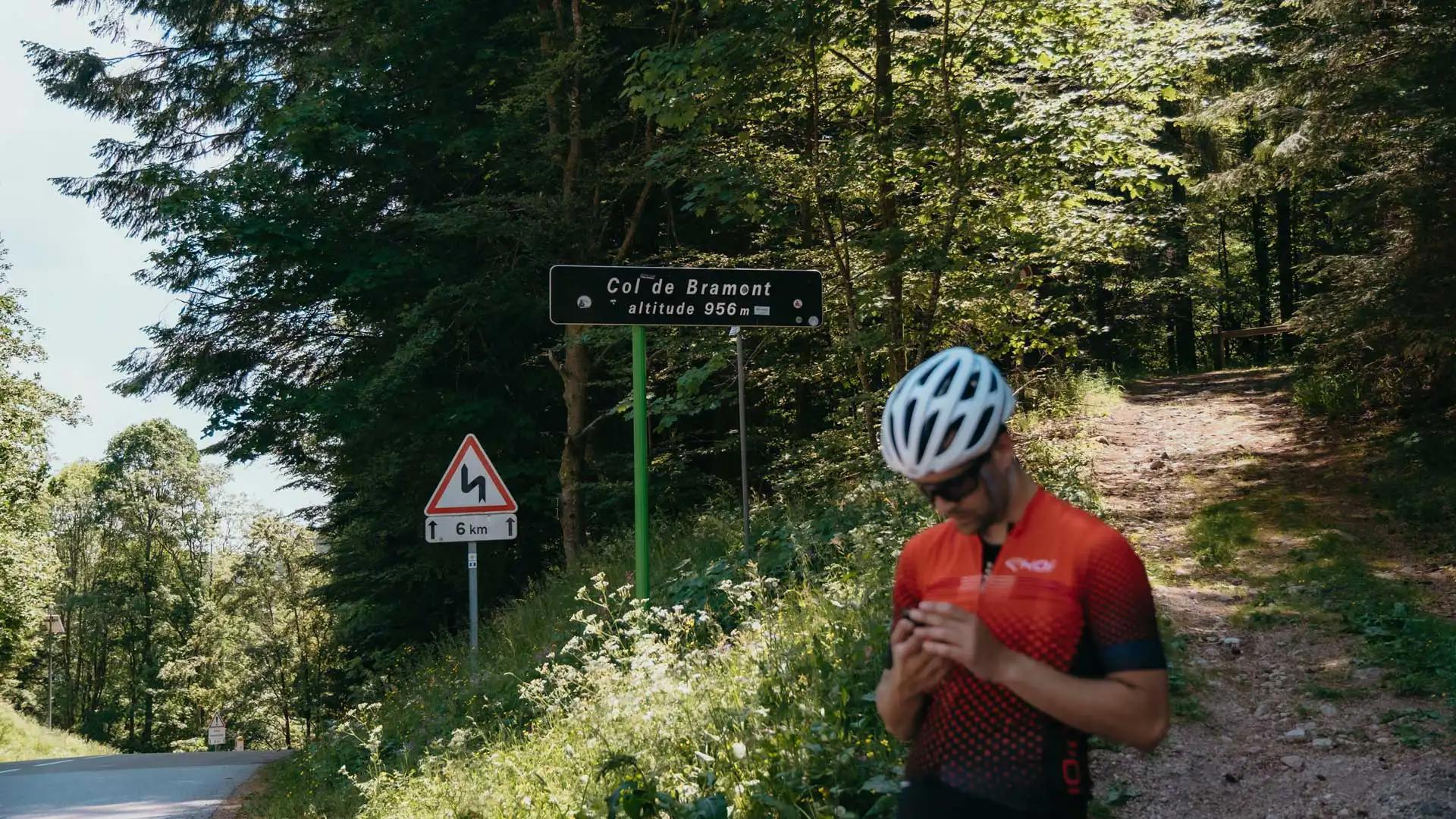
Despite the heat, we will reach the summit of the Bramont pass and can begin our final descent to reach the Bresse region.
Reaching the Bresse from the Col de Bramont by bike
Return to Bresse
Returning to Bresse from the Bramont pass is undoubtedly the easiest part of the route, the descent is beautiful and fast (beware, however, of some hairpin bends that close in quite tightly) and takes us to the Vologne road, which follows the Moselotte to the center of Bresse.
If, like us, you have a chalet located on the heights of Bresse (like the Milien chalet), do not underestimate the last slopes which, after these few hours of effort, will certainly test your legs!
Summary of the walk
📍 Departure from La Bresse
🚴 Distance of 53km
🏔️ Positive elevation gain of 1400m
🗺️ GPX file of the ride to download here
If you want to share your experience on this route, or suggest others, don't hesitate to leave a comment below this article 👇

0 comment